


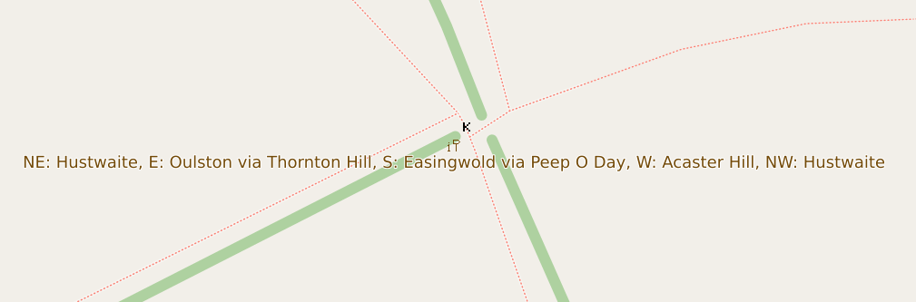
While the raster maps at maps.atownsend.org.uk offer zoom levels up to 24, I have recently begun to take advantage of this feature to display additional data. At these high zoom levels, there is ample space to show all the directions on signposts, as evidenced by the image above and here.
The name is displayed as usual at lower zoom levels, and as you zoom in, the directions are also shown, as demonstrated here.